Google just removed a Google Earth feature that let people paste fake, AI-made scenes onto the real satellite map. If you use Google Earth to check what a place actually looks like, this is really about whether you can still trust what you see there.
The Gist
- Google Earth briefly let users drop AI-generated images onto real satellite views.
- People used it to fake believable scenes, so Google switched it off after about two days.
- Google says the tool will only come back once it has stronger safety checks in place.
Have ChatGPT Recap This Article
ChatGPTWhat Google Earth quietly switched off
You have probably opened Google Earth to see a real place from above, a city, a coastline, your own street. For a couple of days, it also let you invent what was there.
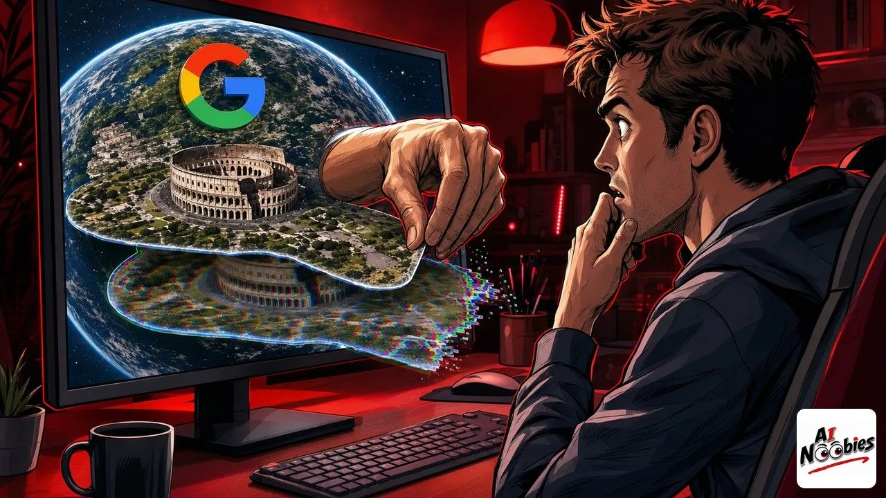
The feature used Google’s AI image maker, a tool nicknamed Nano Banana that creates pictures from a text request. Inside Google Earth, you could type a scene and lay it right over the true satellite image.
Some uses were harmless, like turning old ruins into a busy street or previewing a building on an empty lot. But Google pulled the whole thing fast, and the reason says a lot about where AI images are heading. It is the same worry behind the free Nano Banana image tool Google pushed to everyone.
How the fake images actually worked
The trick was simple, and that was the problem. You gave the tool a description, it generated a picture, and that picture sat on top of the genuine map instead of next to it.
Google did add a couple of guardrails. The fake images carried a small AI-generated label, and other people could not see your edits inside Google Earth itself. On paper, that sounds safe enough.
In practice, people just took screenshots. Once a fake scene leaves Google Earth as a plain image, the label and the privacy no longer travel with it, and it spreads like any other picture online.
Keep learning on AI Noobies:
- Which Free AI Chatbot Wins in 2026 for Beginners
- AI Slop on LinkedIn Now Has a Report Button
- ChatGPT Voice: How to Talk to AI Out Loud
What an “AI-generated” label really does
Here is the part worth understanding, because you will see it everywhere now. A label that says a picture was made by AI only helps if it stays attached to the picture.
Researchers showed how easy it was to fake loaded scenes, from crowds at a border to damaged buildings in a war zone. On a map people trust, those fakes carry a weight they would never have on a random social post. That is why Google admitted the real issue was trust in the map itself.
This is the same reason platforms keep adding warnings on AI media, as we saw when YouTube started tagging AI-made videos. A label is a start, not a fix, and it breaks the moment content gets copied out of its home app.
How to spot a doctored map yourself
You do not need any tech skill to protect yourself here. The simplest habit is to treat a dramatic satellite image the way you would treat a surprising headline: pause before you believe it.
When a map screenshot shows something shocking, check whether it appears on the live version of Google Earth or a trusted news source, not just as a shared picture. If it only exists as a screenshot someone sent you, stay skeptical until you can trace it back.
The bigger takeaway is calm, not scary. Tools that make fake images are getting easier, so the habit that protects you is checking where an image came from before you share it.
Stay tuned on AI Noobies.
About the Author